
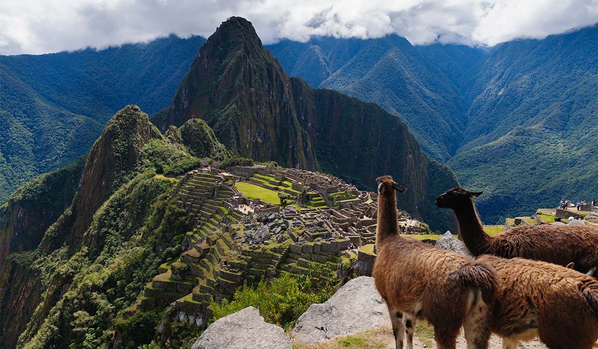
Machu Picchu is one of the most important archaeological destinations in South America and a UNESCO World Heritage site. Located on the eastern slope of the Peruvian Andes, this ancient Inca citadel attracts thousands of travelers interested in its complex history and its advanced stone architecture. However, to plan a successful visit, it is essential to understand the geographical environment and, specifically, the altitude of Machu Picchu, a factor that directly affects planning and the physical well-being of the visitor.
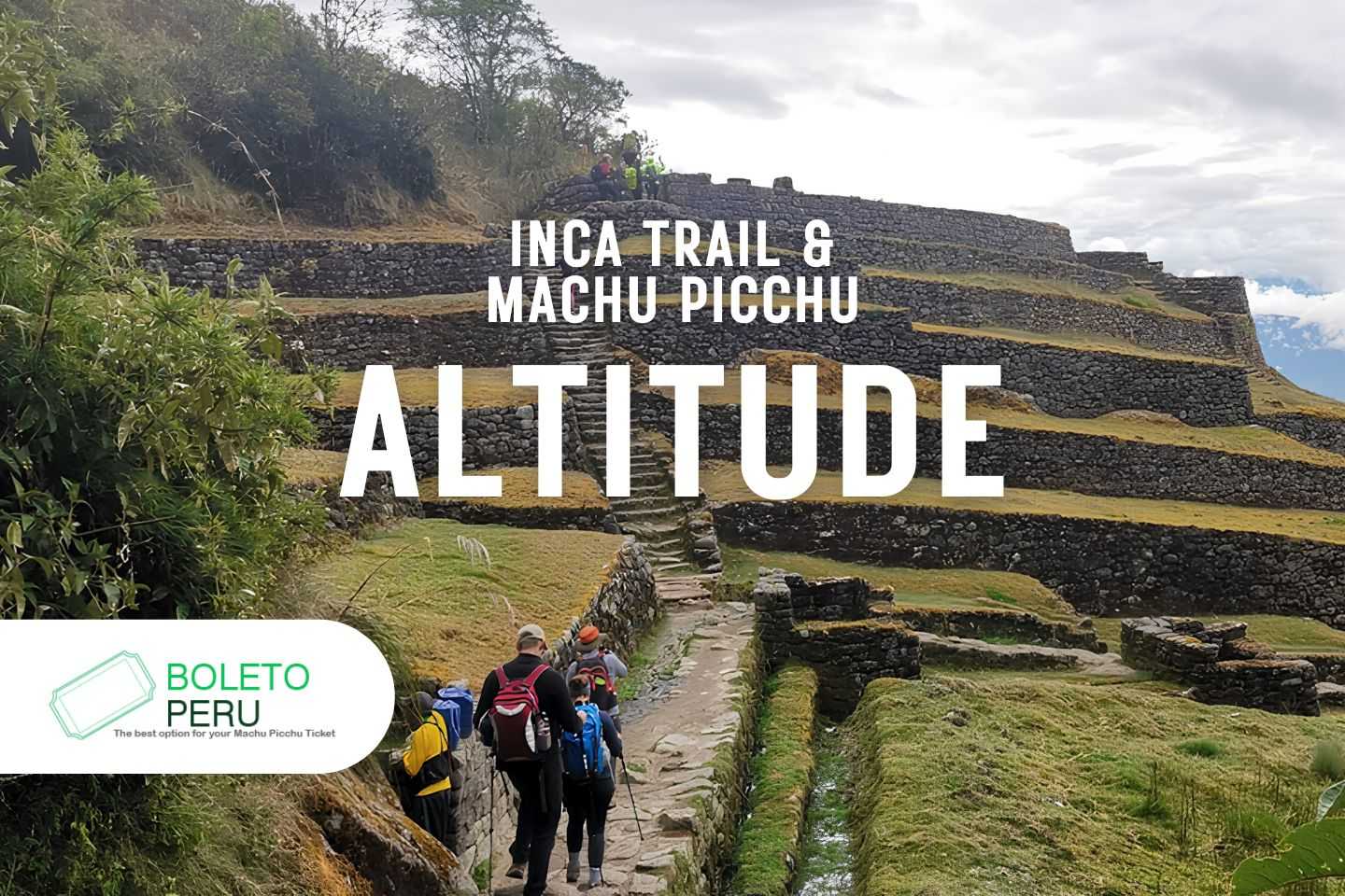
For many travelers, the most iconic way to reach this site is by walking the classic Inca Trail. This demanding historical route winds through the rough Andean topography, combining stone paths with a gradual descent toward the high jungle ecosystem (jungle brow). Knowing the altitude of the Inca Trail is vital, as the path crosses various ecological zones and high mountain passes that require proper cardiovascular preparation and acclimatization before reaching the citadel.
Nowadays, the management of this historical sanctuary allows the regulated entry of thousands of daily visitors, who walk through its terraces and temples under strict conservation circuits. Understanding the relationship between the elevation of the citadel and the topographical challenges of its approach routes will allow you to enjoy this architectural landmark with total safety, avoiding the setbacks of altitude sickness.
Altitude of the citadel and risk of altitude sickness
The main esplanade and the urban sectors of Machu Picchu are located at an altitude of 2,430 meters above sea level (7,972 feet).
Therefore, you should know that the symptom of acute mountain sickness (AMS or altitude sickness) usually appears when crossing the barrier of 2,500 meters above sea level. For this reason, although it is a common concern among travelers, medical statistics show that the rate of altitude sickness within the citadel is very low.
This is because the vast majority of visitors come from the city of Cusco (located at 3,399 meters above sea level), so their bodies have already gone through the acclimatization process before descending toward the sanctuary.
Elevation of the Machu Picchu mountains
For those looking to adventure more in Machu Picchu, the archaeological park offers additional tickets to climb the peaks surrounding the citadel. These routes do increase the altitude and require more effort:
- Huayna Picchu (2,720 m / 8,924 feet): It is the topographical peak that overlooks the back of the complex. Its climb involves going up almost 300 meters of elevation through very narrow paths and stone stairs with a steep incline. It is a technical route that requires being in good physical condition and not suffering from vertigo or fear of heights.
- Machu Picchu Mountain (3,082 m / 10,111 feet): Located at the opposite end, it is the highest point of permitted access in the site. The route consists of a stepped and continuous climb that goes up more than 650 meters from the base of the citadel. Reaching its peak requires excellent stamina, but it offers the widest and highest panoramic view of the entire geographical area.
About Altitude Sickness (AMS)
Acute mountain sickness, known locally as altitude sickness, happens when the body cannot adjust quickly to less oxygen in high areas. Although the 2,430 meters (7,972 feet) of Machu Picchu are not an extreme height, it is important to know how this condition works:
- Main Symptoms: Constant headache, nausea, unusual tiredness, dizziness, and trouble sleeping.
- Who does it affect?: Altitude sickness does not pick favorites. It can affect any traveler, regardless of age, health, or great physical shape. Its appearance depends entirely on each person’s genetics, the time spent at that height, and how fast you go up.
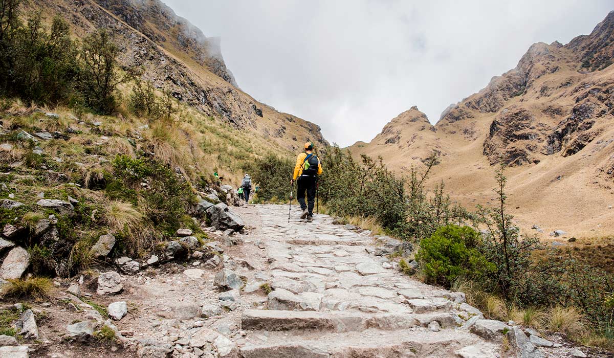
Altitude of the Inca Trail
Unlike what people usually think, the citadel of Machu Picchu (2,430 meters above sea level) is actually one of the lowest points of the whole trip. The real challenge of the Inca Trail is in the high mountain passes you must cross to get there.
For this reason, starting your trip in the city of Cusco (located at 3,399 meters above sea level) gives you a key physical advantage: if you spend several days in the city before the hike, your body will already be used to the height to handle the highest parts of the trail without major problems. The altitude profile of the route changes a lot, forcing the body to adjust to steep climbs and descents toward the cloud forest.
Inca Trail Itinerary
Below, we detail the path during the standard 4-day trip:
Day 1: Cusco – Km 82 – Wayllabamba
The journey starts at Kilometer 82 with a gradual descent, followed by a steady climb through the valley. Since you already spent time in Cusco, this first stage usually does not cause altitude sickness symptoms.
- Difficulty level: Easy to moderate
- Maximum altitude: 3,000 m
- Minimum altitude: 2,600 m
- Distance covered: 9 km
- Walking time: 5 to 6 hours
Day 2: Wayllabamba – Warmiwañusca Pass – Pacaymayo
This is the most demanding day for your body and breathing. It consists of a non-stop climb to the highest point of the trip: the feared Warmiwañusca Pass (Dead Woman’s Pass). It is normal to feel the lack of oxygen here, but the time at the top is short before starting a steep descent toward the camp.
- Difficulty level: Difficult
- Maximum altitude: 4,215 m (Warmiwañusca Pass)
- Minimum altitude: 3,000 m
- Distance covered: 12 km
- Walking time: 6 to 7 hours
Day 3: Pacaymayo – Runkuraqhay – Phuyupatamarka – Wiñayhuayna
Considered the longest day, but the richest in history. The route crosses smaller mountain passes (Runkuraqhay at 4,000 m) and then goes down toward the high jungle, where the increase in oxygen makes breathing and walking much easier.
- Difficulty level: Moderate
- Maximum altitude: 4,000 m
- Minimum altitude: 2,650 m
- Distance covered: 16 km
- Walking time: 8 hours
Day 4: Wiñayhuayna – Sun Gate – Machu Picchu
The final stage takes place at much lower heights. It is a short early morning walk that ends at the Sun Gate (Inti Punku), from where you go down directly to the terraces of Machu Picchu and, later, to the town of Aguas Calientes.
- Difficulty level: Easy
- Maximum altitude: 2,720 m (Sun Gate)
- Minimum altitude: 2,040 m (Aguas Calientes)
- Distance covered: 6 km
- Walking time: 2 hours
Altitude of the Short Inca Trail (2-day Version)
For those travelers who have a tighter schedule or who did not manage to get the popular permits for the classic 4-day route in time for this 2026 season, the Short Inca Trail is the ideal alternative.
This shorter version puts the hike into a single day of physical effort, starting directly from Kilometer 104 of the railway (on the route to Aguas Calientes) to join the last stage of the traditional path. It is an excellent option that lowers the risk of altitude sickness, since the whole trip is below 2,800 meters.
Route: Km 104 – Wiñayhuayna – Inti Punku – Machu Picchu
- Difficulty level: Moderate. The trip requires a lot of heart effort at the start, with a steady climb during the first three hours under the high jungle sun. Once you reach the Wiñayhuayna archaeological site, the path levels out and becomes much easier until you reach the entrance of the citadel.
- Maximum altitude: 2,720 m / 8,924 feet (Inti Punku or Sun Gate)
- Minimum altitude: 2,100 m / 6,889 feet (Starting point at Km 104)
- Distance covered: 13 km / 8.08 miles
- Walking time: Approximately 6 to 7 hours
About the geographic setting: The Andes Mountain Range
The Andes Mountain Range is the longest mountain chain in South America, stretching for about 7,000 kilometers along the western edge of the continent. Its landscape is famous for having an extreme variety of ecosystems, going quickly from freezing mountain environments to humid tropical jungles.
Machu Picchu is located on the eastern slopes of the Andes (high jungle). Its altitude of 2,430 meters (7,972 feet) shows a perfect geographic change, combining a warmer and more oxygenated climate with a unique archaeological setting.
Understanding Acute Mountain Sickness (AMS)
Acute mountain sickness, also known as “soroche”, has a sudden start. It starts with mild discomfort that, if ignored, can slowly get worse as you gain altitude. Medically, symptoms usually appear when passing 2,500 meters of elevation. Therefore, although the Machu Picchu citadel is below this safe level, the high mountain passes of the Inca Trail (like the Warmiwañusca Pass) are high-risk areas for developing it.
When the brain and muscles do a lot of physical work without enough time to adapt to the lack of oxygen, the body shows clear warning signs:
- Throbbing headache.
- Extreme fatigue or unusual weakness.
- Dizziness and a feeling of vertigo.
- Difficulty breathing, even at rest.
- Nausea, vomiting, and loss of appetite.
- Trouble sleeping (altitude insomnia) and fast pulse.
Prevention and management: Your action plan for trekking
Preparing for altitude sickness is the key to finishing the Inca Trail successfully. Here are the most effective prevention and management steps to use before and during the route:
- Required acclimatization: Think about spending at least 2 full days in a high-altitude city (like Cusco, at almost 3,400 meters) before starting the trek.
- Walking pace: Climb the mountain slowly. Do not rush, take short but frequent breaks, and always follow the pace set by your guide.
- Strong hydration: Drink between 3 and 4 liters of fluids per day during the route, making water your priority.
- Strategic nutrition: Eat foods high in carbohydrates for quick energy. Eat small portions often, even if you lose your appetite, and avoid too much salt.
- Strict rules: To avoid overworking your breathing and blood systems, avoid smoking, drinking alcohol, and using sleeping pills.
- Previous medical consultation: Talk to your doctor before traveling; there are preventive medicines that can help you speed up the adaptation process.
- Golden rule for symptoms: If you start to feel AMS symptoms during the walk, you must stop, rest, and tell your guide immediately. It is strictly forbidden to keep going up until you have fully recovered.